
 Image via Wikipedia
 An easy day trip from Seattle is the Mountain Loop Highway, which starts in our little town of Granite Falls.
When the South Fork of the Stillaguamish River goes through a box canyon just east of the town of Granite Falls, it forms the falls that gave the town its name. You can hike the good trail from the Mt Loop Highway down to the fishladder just below the falls. It was at one time (and may still be) the longest fish ladder in the west.
 You can walk to the water's edge and look up at the fish ladder and the falls.
 Sometimes you even catch a glimpse of a big fish in the fish ladder as you walk on the grate and look down at the rushing water.
 The many maintained hiker trails and campgrounds are scattered along the highway from Verlot all the way around the loop to Darrington.
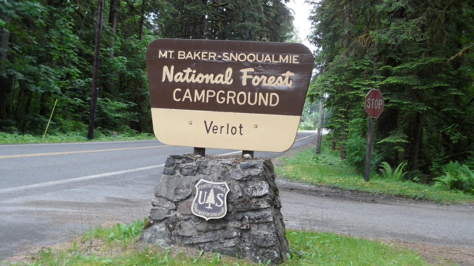

Most require reservations for camping and a trail pass is needed to park at the trailheads. You can obtain the pass and reservations at the Verlot Ranger Station at about 8 miles from town.
One of the landmarks - Red Bridge.
 Construction just beyond Red Bridge narrows the road to one lane for a very short space.
 The road follows the river. There are lots of turnouts where you can stop and enjoy the views.
We took the grandkids gold panning on the river last year and found a few flakes of gold.

No comments:
Post a Comment